Public Land Hunting: Complete Guide for DIY Hunters
Everything hunters need to know about hunting public land — types of public land, how to find access, understanding regulations, and strategies for hunting effectively in high-pressure areas.
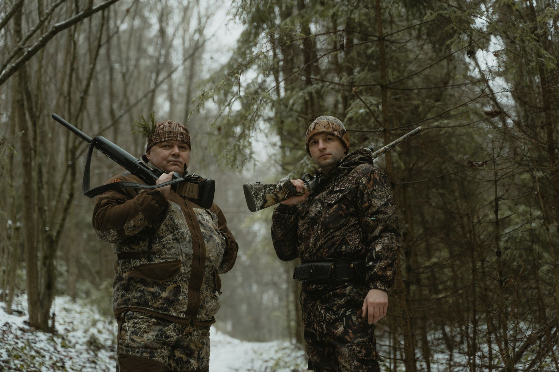
The United States has more accessible public hunting land than any other nation on Earth — over 640 million acres of federally managed land alone, plus hundreds of millions more in state wildlife areas, forests, and parks. Most of it is lightly hunted. Most of it holds game. The hunters who know how to find it, access it legally, and hunt it effectively have a resource advantage that private-land-only hunters never access.
This article contains affiliate links. We may earn a small commission if you purchase through these links, at no extra cost to you.
This guide covers the full landscape of American public hunting land and how to use it.
Federal Public Land: The Big Four
Bureau of Land Management (BLM): 245 million acres, concentrated in 12 western states (Nevada, Utah, Wyoming, Colorado, Idaho, Montana, California, Oregon, Washington, New Mexico, Arizona, and Alaska). BLM land is generally open to hunting with appropriate state licenses — no special permits beyond what any state hunt requires. BLM land ranges from high-desert terrain in Nevada to mountain foothills in Colorado.
A water filter is essential gear for extended public land hunts — it lets you camp further from roads without carrying excessive water weight. BLM land is the most underappreciated hunting resource in the West. Much of it receives light hunting pressure because hunters default to national forests and less of it appears on commonly consulted maps. The BLM interactive map and the Land Access Mapper together identify BLM parcels that most hunters never find.
National Forests: 193 million acres across 44 states. National Forests are managed for multiple use including hunting, and they’re where the majority of backcountry elk and mule deer hunting in the West happens. Within National Forest boundaries, hunting is legal with appropriate state licenses except in designated wilderness areas (which are still legal to hunt but have specific access rules) or special use areas.
A handheld GPS with downloaded National Forest boundaries prevents trespass issues. National Forests have the most developed trail and road infrastructure of any public hunting land category — which means more hunter access but also more hunting pressure in road-accessible areas.
National Wildlife Refuges (NWRs): 150 million acres in NWR system; approximately 350 of 560 NWRs allow some form of hunting. Hunting on NWRs typically requires specific permits beyond state licenses and operates under federal regulations separate from state seasons. The best NWR hunting for big game occurs on western refuges and in Alaska.
State Wildlife Areas / Wildlife Management Areas (WMAs): Every state manages public hunting land specifically for wildlife. State WMAs typically have more intensive wildlife management than federal land — food plots, habitat work, water improvements — that concentrates game. They also tend to receive higher hunting pressure per acre because they’re specifically known as hunting areas.
Important
The Access Issue: Why Legal Access Matters
Standing on private land while hunting — even briefly, even accidentally — is criminal trespass in most states. In some states, a loaded firearm on private land without permission is a felony. Beyond the legal risk, hunting on private land without permission damages landowner-hunter relationships that affect public access for everyone.
Know your boundaries before you hunt. The standard for “I thought it was public land” is not a legal defense. Use GPS, verified maps, and the Land Access Mapper to confirm your location. When in doubt, stop moving and check before advancing.
The access question also affects how you reach public land. A BLM parcel accessible only by crossing a private ranch requires permission from the ranch owner to access legally, even though the BLM land itself is public. Many western hunters are surprised to find that the most attractive public land in their target area is effectively locked behind private land with no legal access route.
Hunting High-Pressure Public Land Effectively
Road-accessible public land in popular units receives significant hunting pressure, particularly on opening day and opening weekend. Hunters who hunt the same areas as everyone else produce average results.
The strategies that work on pressured public land:
Go further from roads: Most hunters won’t go more than 1.5 miles from a road. Animals in heavily hunted areas learn this quickly and concentrate in the 2–5 mile zone. Packing in a spike camp to access the 3+ mile zone substantially reduces competition.
Hunt midweek: Hunting pressure on public land drops dramatically on Tuesday through Thursday on most units. Animals that were pushed by weekend pressure settle and resume normal patterns. Monday morning after a weekend of pressure can be surprisingly good as animals begin relaxing.
Hunt transition zones: Hunter pressure from roads pushes deer and elk into sanctuary areas — typically the hardest terrain, darkest timber, or steepest ground. Animals still have to eat, drink, and move — find the edges of sanctuary areas where they access feeding or water, and set up there.
Go early in the season: Opening-day animals haven’t been educated yet. The first weekend of any season typically produces the best hunting on pressured public land. If you’re hunting a week-long season, the early days are worth more than the late days on public ground.
E-Scouting Before You Go
The combination of satellite imagery tools (Google Earth, CalTopo, OnX Hunt), public land boundary data, and topographic maps allows thorough pre-hunt scouting from home. Identify:
- Water sources on the public parcel
- North-facing slopes with heavy timber (elk bedding)
- Open parks and south-facing slopes (feeding areas)
- Saddles and ridge crossings (travel routes)
- Distance from road access to quality habitat
Hunters who do this work before a trip know where to go on day 1 instead of spending two days exploring unfamiliar terrain. The transition from virtual scouting to on-the-ground verification accelerates in the field because you know what you’re looking for.
Public land hunting rewards preparation more than almost any other type of hunting. The resource is there — hundreds of millions of acres. Use the Land Access Mapper to find the specific parcels with the access and terrain that fits your hunt, and do the scouting work that puts you ahead of the crowd before you ever arrive.
Next Step
Check Draw Odds for Your State
Tag-level draw odds across 9 western states — filter by species, unit, weapon, and points. Free to use.
Get the Insider Edge
Join hunters getting exclusive draw odds data, gear deals, and weekly hunt planning tips.
Related Articles

Arizona Forest Road Closures & MVUM Guide
Arizona National Forest roads operate under Motor Vehicle Use Maps. Here's how to read the MVUM and avoid citations during your 2026 hunts.

Arizona Public Land Hunting: Complete Map
Arizona public land covers 43% of the state but the rules differ by agency. Here's the complete guide to hunting National Forest, BLM, and State Trust lands.

Arizona Ranch Hunting Access Guide
Some Arizona ranches allow public hunting; most don't. Here's how to identify legitimate access and respect landowner rights.
No comments yet. Be the first to share your experience!