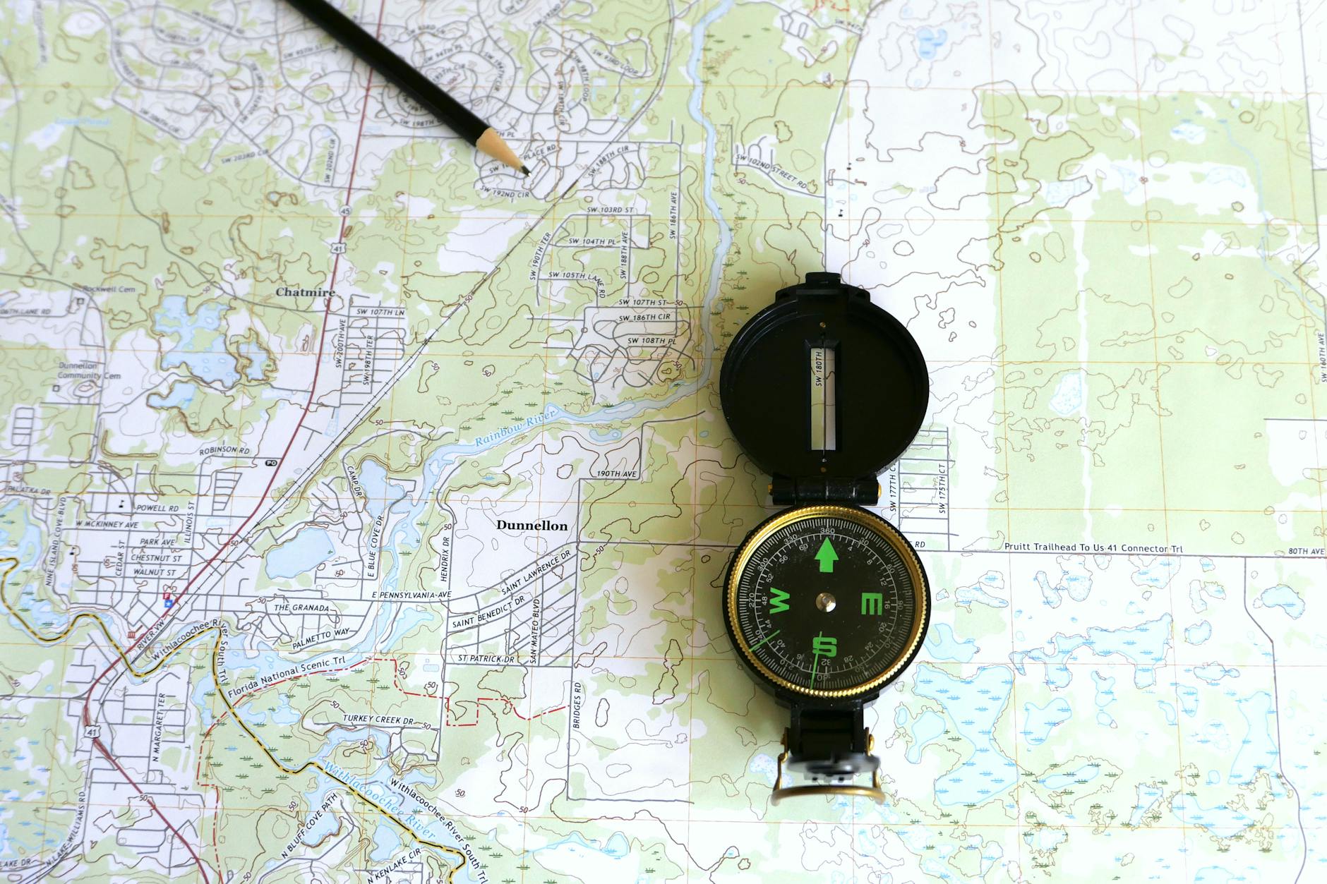
Find Huntable Public Land With the Land Access Mapper
Use the Land Access Mapper to identify BLM, National Forest, and state public land near you — find open hunting areas with access points, boundary data, and adjacent private land overlays.
This article contains affiliate links. We may earn a small commission if you purchase through these links, at no extra cost to you.
There’s a drainage in your state — probably several — where elk or deer spend most of the season undisturbed because most hunters don’t realize the land is public. It looks private. It’s accessible only by a dirt road with no obvious signage. The adjoining ranch has a fence along the highway that makes the whole area feel off-limits. But 4,200 acres of BLM land sit behind that ranch, fully legal to hunt, with no other hunters most of the season.
Finding those places is the most valuable hunting scouting work you can do. The Land Access Mapper makes it systematic.
What the Mapper Shows
The Land Access Mapper overlays all major public land categories on a searchable map:
- Bureau of Land Management (BLM): 245 million acres, primarily in western states; the largest single category of public hunting land
- National Forest: 193 million acres; generally allows hunting with appropriate licenses
- National Wildlife Refuges: Some allow hunting; the mapper flags those that do versus those that don’t
- State Wildlife Management Areas: Public land specifically managed for wildlife and hunting
- State Forests and Parks: Variable hunting access; mapper shows hunting-allowed status
For each public land parcel, the mapper shows legal access routes (roads or trails that legally enter the public land), trailheads, and the private land boundaries that adjoin public parcels.
The Land Access Problem
Most hunting maps show public land boundaries accurately. The problem they don’t solve: how do you legally access that public land? A BLM parcel surrounded on all sides by private land is technically public land but practically inaccessible without a trespass crossing.
The Land Access Mapper specifically highlights public land parcels with verified legal access — roads, trails, or easements that allow entry without crossing private property. This distinction is critical. A 6,000-acre BLM parcel with a legal Forest Service road through it is very different from a 6,000-acre BLM parcel accessible only by helicopter.
Important
Navigating the Checkerboard
Western states — particularly Idaho, Montana, and Wyoming — contain vast areas of “checkerboarded” land ownership, where alternating sections are private and public in a patchwork pattern. Hunting checkerboard country requires understanding which sections you can legally be on at any given moment.
The Land Access Mapper overlays section lines over checkerboard areas, color-coding public versus private ownership. Combined with a reliable handheld GPS in the field, this allows hunters to navigate checkerboard terrain legally. The mapper also identifies contiguous public blocks within checkerboard areas — areas where multiple adjacent public sections create huntable blocks without crossing private land.
Finding Hidden Public Land Near Home
Most hunters know the major national forests and BLM blocks in their region. They’re less familiar with small state wildlife areas, wildlife management units, and isolated BLM parcels that receive minimal hunting pressure because they’re not well-known.
Search the mapper within 50, 100, and 200 miles of your home for parcels under 5,000 acres — these small parcels rarely appear on hunting-specific maps or online resources. Some are excellent, close-range hunting areas that are effectively private in terms of pressure because nobody knows they exist.
Cross-reference these finds with species data — which ones fall in deer or elk management units with good populations. The intersection of accessible, low-pressure public land and good animal populations is where close-to-home hunting can be surprisingly good.
After You Find It: Scouting Virtually
Once the mapper identifies promising public land, transition to satellite imagery to evaluate the terrain for habitat quality. Look for water sources, transition zones between timber and open country, north-facing slopes with dense cover (elk bedding preference), and south-facing open slopes (early spring green-up areas where deer and elk concentrate in late winter and early spring).
Add promising locations to your scouting hit list and get boots on the ground before season. The Land Access Mapper gets you to the right property boundary — your feet and your eyes find the animals within it.
Public land is one of North America’s great hunting resources. Use the mapper to find more of it than the hunters who never look past the familiar spots.
Next Step
Check Draw Odds for Your State
Tag-level draw odds across 9 western states — filter by species, unit, weapon, and points. Free to use.
Get the Insider Edge
Join hunters getting exclusive draw odds data, gear deals, and weekly hunt planning tips.
Related Articles

Public Land Deer Hunting: Strategies That Actually Work
Public land deer hunting strategy guide — how to find un-pressured deer on pressured ground, entry routes that don't educate deer, timber cuts and edge habitat, and what separates successful public land hunters from the pack.

Arizona State Trust Land Hunting Permit Guide
Arizona State Trust Land covers 9 million acres and requires a recreational permit to hunt. Here's the complete guide to the permit, the rules, and the value.

Arizona Forest Road Closures & MVUM Guide
Arizona National Forest roads operate under Motor Vehicle Use Maps. Here's how to read the MVUM and avoid citations during your 2026 hunts.
No comments yet. Be the first to share your experience!